
MunicipalityFrederikssund
FrederikssundHovedstadenBlue Flagsea 6.7 °CWith photo
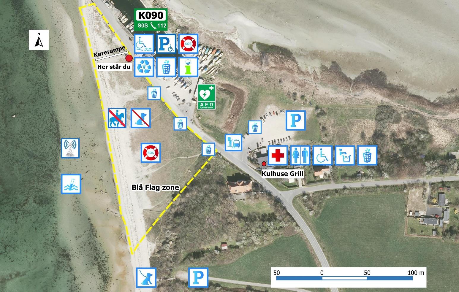
Kulhuse strand vest for havnen
Kulhuse strand vest for havnen is one of the bathing sites for which Frederikssund has prepared a bathing-water profile for the national register. The profile covers data for the Hovedstaden region and can be opened as…
RegionHovedstaden
Blue FlagBlue Flag
Bathing-water profileYes
Water temperature6.7 °C
Season2025
Station ID9f3d3699
Coordinates55.93484, 11.90634
Map and location
The location is taken from the official Badevandet.dk map.
Weather and water temperature
Current weather and sea temperature data for this location.
–Water temperature
–Air temperature
–Wind
Data: Open-Meteo · MET Norway
About Kulhuse strand vest for havnen
Kulhuse strand vest for havnen is one of the bathing sites for which Frederikssund has prepared a bathing-water profile for the national register. The profile covers data for the Hovedstaden region and can be opened as a PDF directly from this page.
GPS: 55.9348, 11.9063
Detailed information
All information in this profile is based on stored data and official sources.
- Kulhuse strand vest for havnen er registreret som badested med badevandsprofil for Frederikssund Kommune.
- Data om badevandsprofiler på Badevandet.dk kommer fra Danmarks Miljøportal.
- Region: Hovedstaden.
- Kommune: Frederikssund Kommune.
- Koordinater: 55.934840, 11.906341.
- Badestedet har en tilknyttet PDF-badevandsprofil.
- Stations-id i Badevandet.dk-kortet: 9f3d3699-c753-4987-8e5f-2b7badf95a9b.
- Vandtemperatur i det hentede overblik: 6.7 °C.
- Kortet markerede badestedet med Blå Flag.
- Badevandsprofiler og kortdata er hentet fra Badevandet.dk.
- Badevandet.dk angiver Danmarks Miljøportal som datakilde for badevandsprofiler.
Nature and landscape at Kulhuse strand vest for havnen
Coastal landscape
Kulhuse strand vest for havnen is part of the coastal landscape of Hovedstaden, which covers everything from dunes and heathlands to low beach meadows and limestone cliff formations. The area is often protected by nature conservation.
Birdlife and flora
Danish coasts host many bird species — waders, gulls and seabirds. In some areas there are bird reserves with restrictions during the breeding season (March–July).
Protected areas
Parts of Hovedstaden fall within Natura 2000 areas or other protection zones. Respect marked paths and avoid disturbing wildlife.
More bathing sites in Frederikssund
The municipality hub gathers 16 verified profiles for Frederikssund.
Similar bathing sites
More profiles from the same municipality or region.
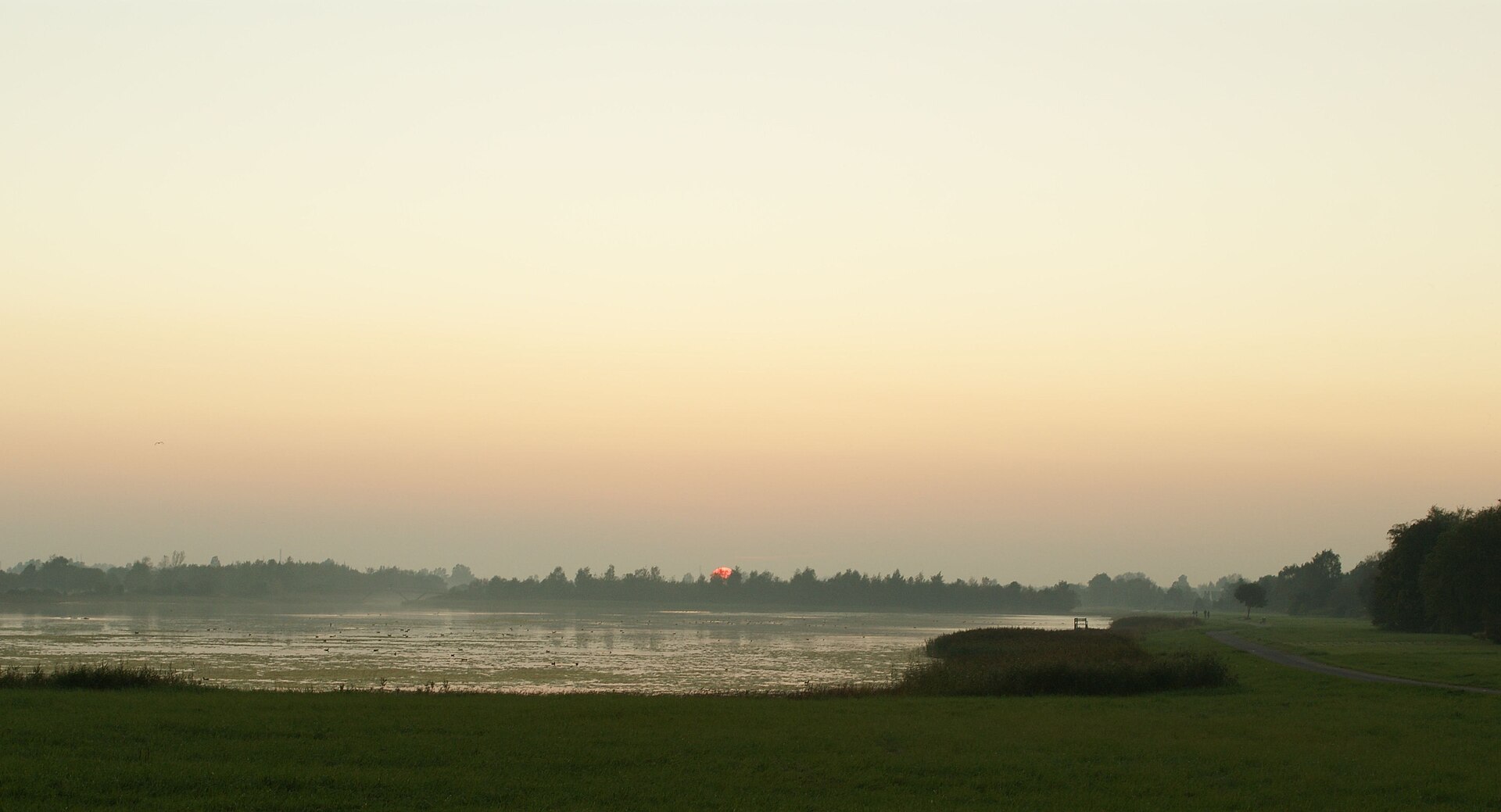
Brøndby Strand, Strandparken
Brøndby Strand, Strandparken is located in Brøndby and appears in the official catalogue for Hovedstaden region. The profile is linked to a PDF…
Blue Flagsea 5.9 °CWith photo
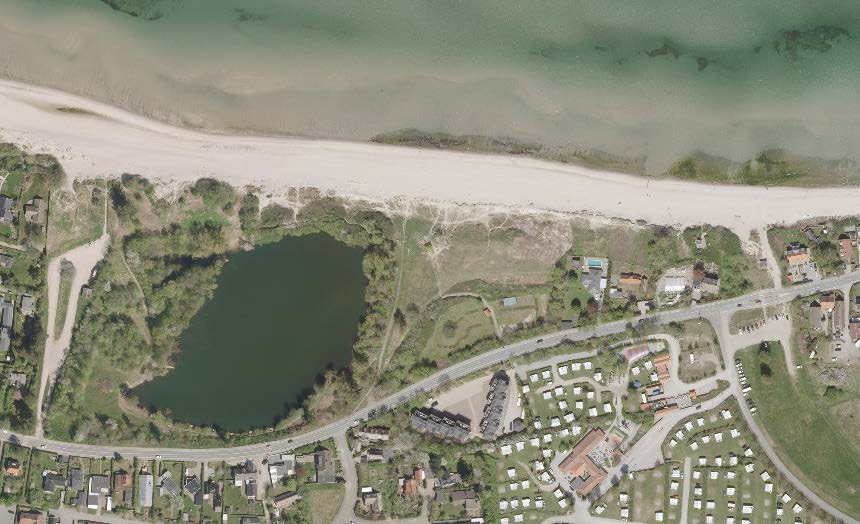
Dronningmølle strand
Dronningmølle strand is located in Gribskov and appears in the official catalogue for Hovedstaden region. The profile is linked to a PDF published…
Blue Flagsea 6.4 °CWith photo

Gilleleje Vest
Gilleleje Vest is located in Gribskov and appears in the official catalogue for Hovedstaden region. The profile is linked to a PDF published by the…
Blue Flagsea 6.4 °CWith photo
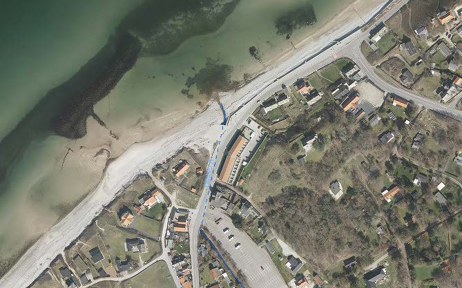
Rågeleje strand
Rågeleje strand is located in Gribskov and appears in the official catalogue for Hovedstaden region. The profile is linked to a PDF published by the…
Blue Flagsea 6.5 °CWith photo
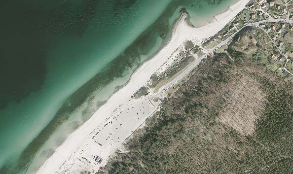
Tisvildeleje
Tisvildeleje is a registered Danish bathing site linked to Gribskov in the Hovedstaden region. The site is part of the national bathing-water…
Blue Flagsea 6.5 °CWith photo
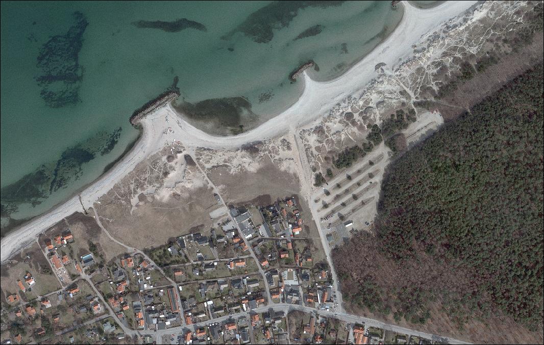
Liseleje, offentlig badestrand
As part of the municipality of Halsnæs and the Hovedstaden region, Liseleje, offentlig badestrand has an official bathing-water profile registered…
Blue Flagsea 6.8 °CWith photo
Sources
Every link leads to a stored or cited original source of this profile.